NEW: Two More Storms On The Way To Rhode Island
Monday, February 11, 2013
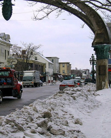
Just when we thought it was over... two more storms are on their way toward Rhode Island. So get ready. Photo: Jef Nickerson/flickr.
First hit: Wednesday night
A much smaller but still potent storm is likely to affect parts of Southern New England Wednesday night and early Thursday. Right now it looks like most of the action will occur just to our south from the Washington, D.C. area through New Jersey but much of Rhode Island and Southeastern Massachusetts could be on the northern fringe of some moderate snowfall. I hesitate to put any firm numbers up just yet but most likely this one will be in the “few inches” category and certainly nowhere near last week’s blockbuster.
Second hit: Sunday/Monday
A second storm is yet further down the road, say in the Sunday/Monday time frame. This one could be more potent but the forecast models have yet to come to any agreement on the size, location or track. Let’s just say that the ingredients are there. It’s just that they don’t always come together to make a cake or in this case, a snowstorm.
I’ll keep you updated on the entire situation, meanwhile be sure to focus on the dense, snow-eating fog and poor travel visibility over the next several hours that should improve in the hours after midnight and before daybreak tomorrow.
Related Articles
- GoLocal’s Readers’ Rhode Island Blizzard Photos
- How Did the City of Providence Do in Snow Removal?
- LIVE MAP: Power Outages Across RI
- AM WEATHER UDPATE: The Blizzard of ‘13 Not Over—Prepare For More Snow
- AM WEATHER UPDATE: Blizzard May Bring Up to 3 Feet of Snow
- AM WEATHER UPDATE: Blizzard Watch Expands—Hitting RI Friday AM
- Chafee Must Declare a Financial State of Emergency
- GoLocal Sports Gets Snowed In


